Why Hurricane Sally’s slow movement makes it more dangerous over Gulf Coast

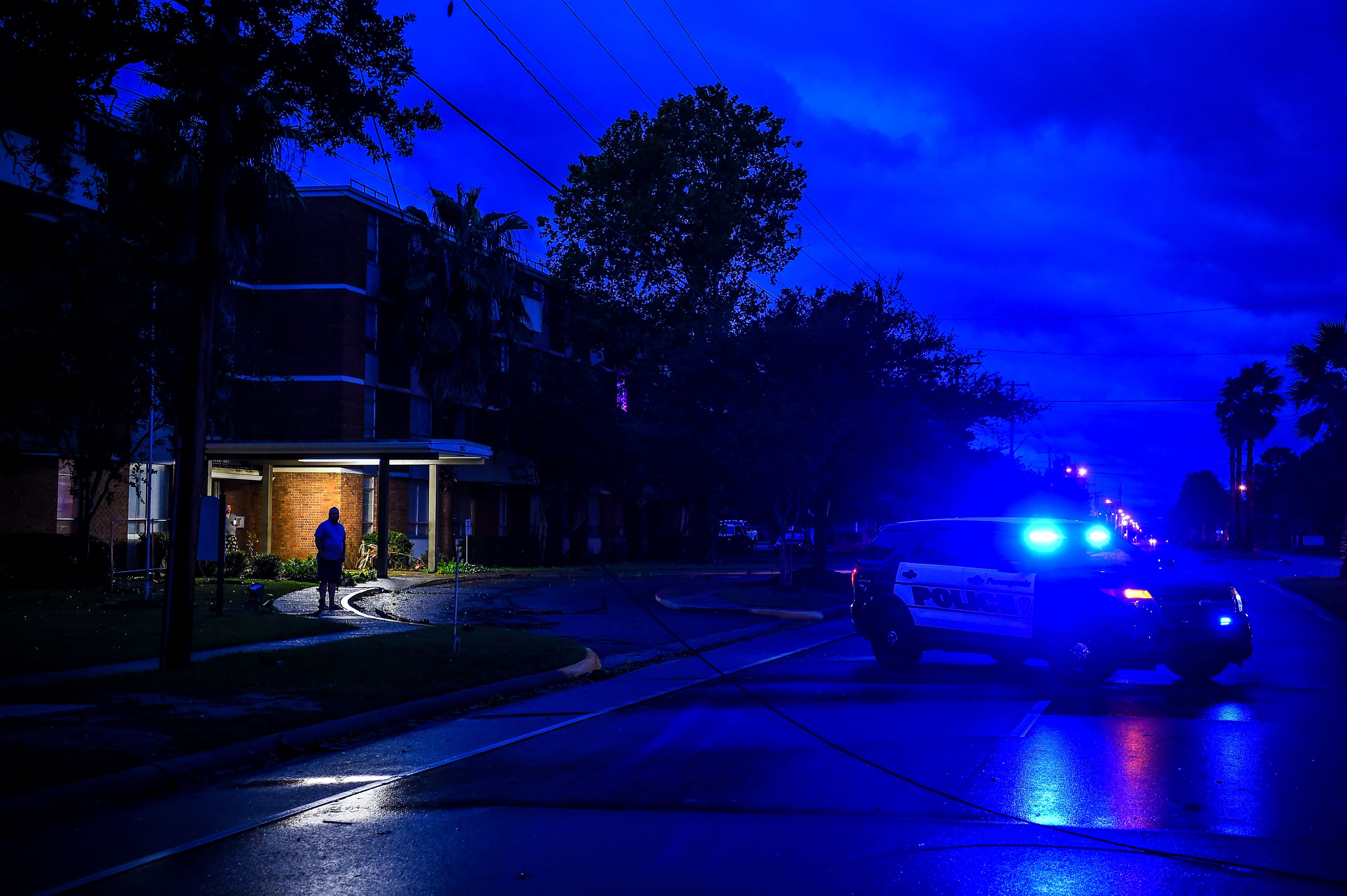
A resident looks at the broken power cable as it lies on the street during Hurricane Sally in Pascagoula, Mississippi on September 16, 2020.
CHANDAN KHANNA | AFP via Getty Images
Hurricane Sally stalled over the warm waters of the Gulf of Mexico before making landfall early Wednesday, bringing heavy rain to coastal communities in Florida, Alabama, Mississippi and Louisiana.
The storm’s incredibly slow pace, which at times was just 3 miles per hour, as well as its stalling over the Gulf represent a climate change effect that’s triggered rainier and more destructive and frequent storms. Slower storms unleash more rain and long-lasting winds. As of Wednesday morning, Sally was heading northeast at about 5 mph.
Sally comes as the U.S. West Coast battles historic wildfires made worse by human-caused climate change. The blazes have wiped out entire communities in Oregon and Washington state, decimated a record number of acres in California and caused some of the worst air quality in the world in those regions.
The pace of tropical storms making landfall has slowed during the last several decades. The lingering creates worse rainfall and flooding. North Atlantic hurricanes specifically have been moving slower and stalling more frequently over the past even decades, according to research by NASA and the National Oceanic and Atmospheric Administration.
Other research suggests that warming in the Arctic has weakened atmospheric circulation, which is likely affecting hurricane speed by causing a slowing of the jet stream.
“Our own work suggests that climate change is favoring precisely such jet stream behavior,” said Michael E. Mann, a climate scientist at Penn State and an author of the report.
Sally’s stalling is comparable to Hurricane Harvey in 2017, which flooded parts of Houston with 60 inches of rainfall after it stalled and was downgraded to a tropical storm. In 2018, Hurricane Florence also stalled over North Carolina’s coast. And in 2019, Hurricane Dorian caused massive destruction and at least 70 deaths when it lingered over the Bahamas for more than a day.
Research also shows that global warming has intensified extreme rainstorms in the U.S. and other parts of the world.
“Rainstorms are getting measurably more intense as a result of global warming. Sally’s rains will be devastating,” Climate scientist Eric Holthaus wrote in a tweet. “We are in a climate emergency.”
The U.S. is experiencing its worst hurricane season on record, with 20 named storms so far. Forecasters have nearly run through the alphabet of names for storms this season. Behind Sally, several more storms are developing in the Atlantic Ocean.
Scientists also say that climate change has made hurricane season more dangerous by triggering more rapidly intensifying storms. For instance, last month Hurricane Laura, the fastest-intensifying hurricane ever in the Gulf of Mexico, devastated parts of Louisiana and Texas and left at least 15 people dead.
“What is more concerning is the recent trend in hurricanes rapidly intensifying to become much stronger right up until the time of landfall in the Gulf of Mexico,” said Ryan Maue, who runs the website weathermodels.com. “Previous decades saw the opposite almost as a rule: storms moving toward the coast would weaken prior to landfall.”
A man walks though a flooded parking lot as the outer bands of Hurricane Sally come ashore on September 15, 2020 in Gulf Shores, Alabama. The storm is bringing heavy rain, high winds and a dangerous storm surge from Louisiana to Florida.
Joe Raedle | Getty Images
President Donald Trump has issued emergency declarations for parts of Alabama, Mississippi and Louisiana. Forecasters warn that areas from the western Florida Panhandle to southeastern Mississippi could have up to 35 inches of rain.
Sally has already hit properties in southeast Louisiana and highways along the Mississippi coast, and brought forceful winds and rain from Pensacola Beach, Florida, westward to Dauphin Island, Alabama. Sally is forecast to hit the Gulf Coast with as much as two and a half feet of rain in the next several days. The National Hurricane Center on Wednesday warned of catastrophic and life-threatening floods in parts of the north-central Gulf Coast.
“Hurricane Sally is nothing to take for granted. We’re looking at record flooding, perhaps breaking historic levels, and with rising water comes a greater risk for loss of life and loss of property,” Alabama Gov. Kay Ivey wrote in a tweet on Tuesday.


