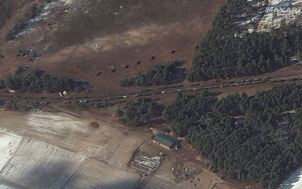
A large Russian military convoy northwest of Ukraine’s capital Kyiv appears to have been dispersed and redeployed, according to satellite images taken on Thursday by U.S. firm Maxar Technologies.
There are fears the development could signal a renewed push by Russian forces to bear down on Ukraine’s capital. An earlier advance by the convoy had stalled around 30 kilometers outside of Kyiv.
The latest batch of satellite images, all dated Mar. 10, appear to show that armored units have fanned out through the towns close to Antonov airport on the outskirts of Kyiv, with artillery howitzers thought to be situated in firing positions nearby.
Maxar, which works with U.S. government agencies to provide commercial satellite imagery, said the images indicated that the convoy had “largely dispersed and redeployed.”
It comes as Russia’s onslaught of Ukraine enters its 16th day, with invading troops seeking to maintain pressure on Kyiv and the besieged port city of Mariupol.
International governments have sought to isolate and sanction the Kremlin, with Ukrainian and Western officials admonishing Wednesday’s deadly airstrike on a maternity hospital in Mariupol as a “petrifying” war crime.
The firm said the following image shows resupply trucks and “probable” multiple rocket launchers snaking along a road in Berestyanka, northwest of Kyiv.
A separate image from the past 24 hours shows Russian troops and military vehicles deployed in Ozera, northeast of Antonov Airport.
Maxar said the satellite photo below depicts trucks and equipment in convoy southeast of Ivankiv, a town in the Kyiv region.
Maxar also obtained satellite imagery of the Chornobyl nuclear facilities following warnings about Ukraine’s nuclear security.
Ukraine Foreign Minister Dmytro Kuleba on Wednesday warned the disconnection of the Chornobyl nuclear plant from power supplies was putting the entire European continent in danger.
The International Atomic Energy Agency, the U.N. nuclear watchdog, has since said the disconnection poses “no critical impact on safety,” but cautioned recent developments had violated a key safety pillar on ensuring uninterrupted power supply.
An explosion and fire at the Chornobyl power plant on April 26, 1986, led to the world’s worst nuclear disaster.


